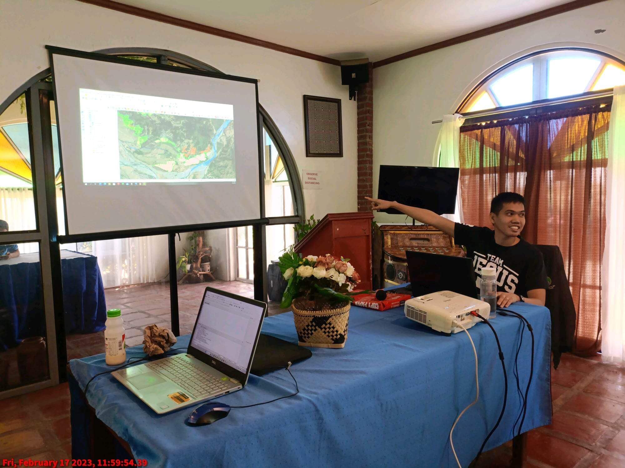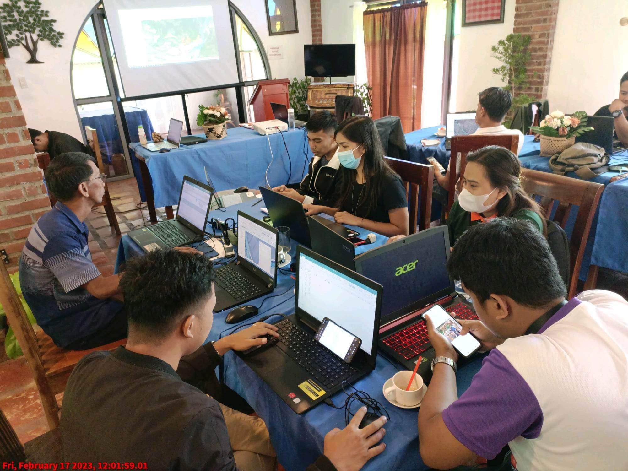
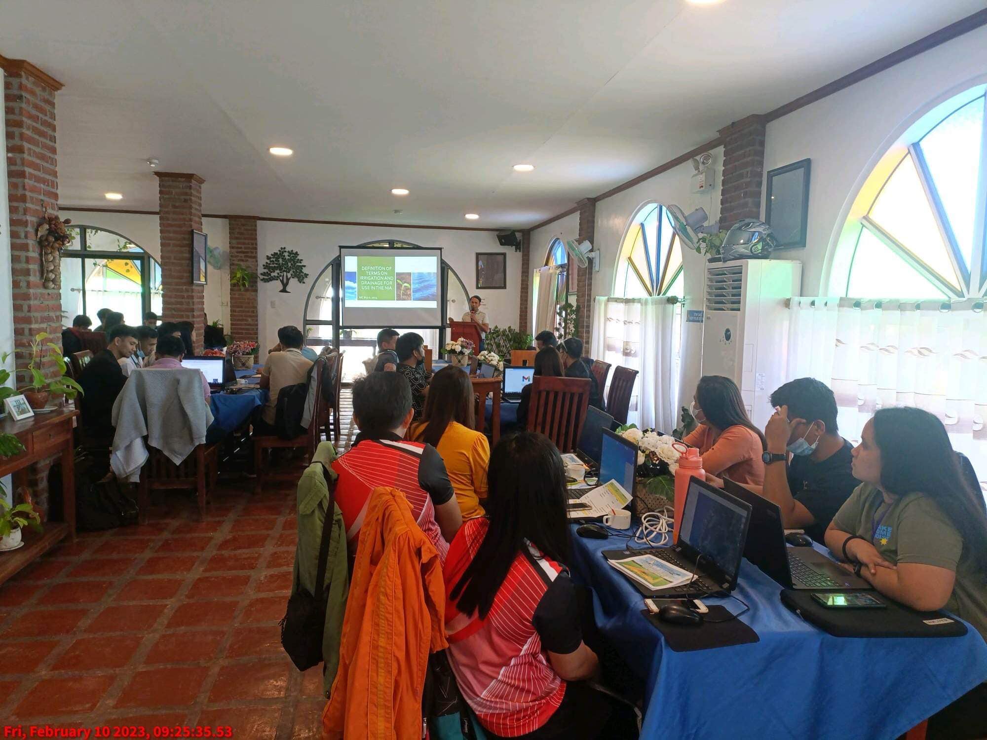
NIA-INIMO conducts Enhanced Farmland Geographic Information System (eFGIS) Orientation for Basic Operation, at JLP Resort, Paoay, Ilocos Norte, on February 17, 2023.
Farmland Geographic Information System is a collection of farm information including but not limited to landowners, tenants, or farmers, lot numbers, land area, irrigation facilities, payment information, and geographic location.
The introduction of Farmland GIS aims at modernizing the old system of using Parcellary maps previously available in all NIS’s through modern technology and monitoring vital information within the service area can now be easily and more realistically produced.
Present in the said activity are Senior Water Resources Facilities Technicians, Institutional Development Officers, and engineering section staff who are directly involved in the preparation and utilization of the Parcellary Map and other data information within the National Irrigation system.